Expert Surveying Services in the Douglas Shire and Beyond
Our Surveying Services
TerraModus Surveying provides reliable and professional land surveying services tailored to diverse needs. Operating in the Douglas Shire, we specialise in cadastral and engineering surveys, including boundary identification, subdivisions, and detailed site mapping. “TerraModus” means “earth measurement,” which represents our commitment to delivering precise, high-quality data for every project, regardless of complexity.
We collaborate closely with developers, homeowners, councils, and local businesses to provide accurate information essential for planning and property management. Whether you’re setting boundaries, developing property, or managing complex projects, TerraModus Surveying is here to help your projects move forward with confidence.
For a dependable surveyor in the Douglas Shire, please complete our
enquiry form to discuss your project with a dedicated team ready to assist.
What We Do
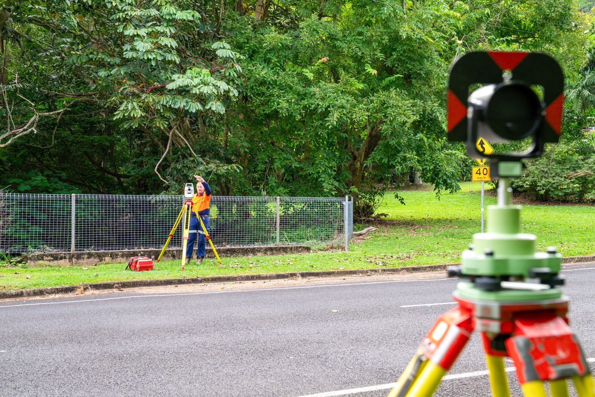
We offer cadastral surveys in the Douglas Shire to accurately establish property boundaries, easements, and subdivisions. Our comprehensive land measurement services assist in property development, boundary marking, and ensuring compliance with Queensland's land regulations. We provide the expertise and certainty of cadastral boundaries you are looking for.
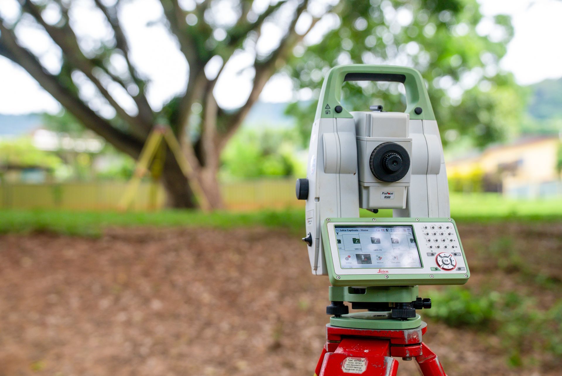
Our engineering surveys throughout the Douglas Shire provide crucial data for construction and planning needs. We conduct services like contour mapping, AHD level surveys, and as-constructed assessments, delivering precise information to support project requirements and regulatory standards. We provide the detailed data-driven surveying solutions you require.
Why Choose Us?
Choose TerraModus Surveying for dependable accuracy and a client-first approach to all surveying services. As a family-owned business, we are dedicated to providing quality service, making us the preferred choice in the Mossman, Port Douglas and throughout Douglas Shire. Here’s what we bring to the table:
- Registered cadastral surveyors with strong local knowledge on every project.
- Complete cadastral and engineering survey solutions tailored to unique needs.
- Clear, correct and complete data for boundary marking, property development, and compliance.
- Professional, approachable service that meets each project’s requirement.
- Quality and timely surveying solutions for projects of any size, ensuring value.
For a trusted surveyor in the Douglas Shire, call TerraModus Surveying on (07) 4054 4072. Let us provide the accurate data you need to meet your surveying needs.
Enquire Now In Douglas Shire
* Please complete all fields of the form. As each survey is unique, we require the location of your survey to respond appropriately to your enquiry. If you have multiple attachments, please email us separately.
Contact Us
T. 07 4054 4072
M. 0413 580 146
Trading Hours
- Monday
- -
- Tuesday
- -
- Wednesday
- -
- Thursday
- -
- Friday
- -
- Saturday
- Appointment Only
- Sunday
- Appointment Only


Frequently Asked Questions
What areas do you service?
TerraModus Surveying provides a wide range of surveying services for the Douglas Shire and the surrounding areas, including Port Douglas, Mossman, Wonga Beach, Cape Tribulation, Cow Bay and Wujal Wujal.
What is a boundary identification survey?
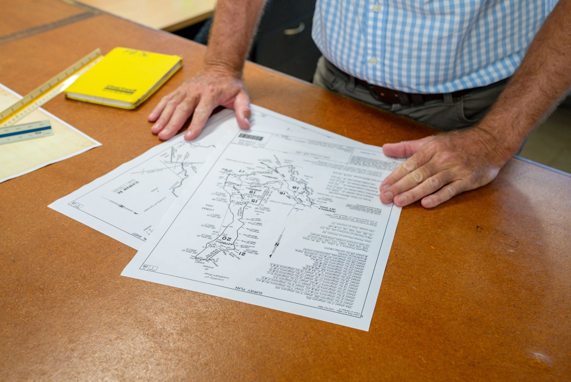
A boundary identification survey confirms the exact boundary lines of a property, often by placing survey markers at each corner. It’s useful when installing fences, building structures, or verifying property limits. This survey is conducted by a registered cadastral surveyor and results in an official survey plan that serves as a legal reference. By marking boundaries accurately, it prevents encroachments and helps maintain good relations with neighbours. Many councils or lenders may require this survey for developments, ensuring that property boundaries are legally confirmed before any significant improvements or construction projects begin.
What is an AHD level survey?
An Australian Height Datum (AHD) level survey measures the height of land relative to mean sea level. Used to assess flood risks, it’s essential in construction near flood-prone areas. Surveyors transfer height data from AHD benchmarks to the site, helping builders and designers determine safe elevation for structures. Councils may require AHD level surveys for developments in areas susceptible to flooding. By ensuring that construction occurs above specific flood levels, AHD surveys help safeguard properties from potential water damage, promoting safety and compliance with local building codes.
What is an as-constructed survey?
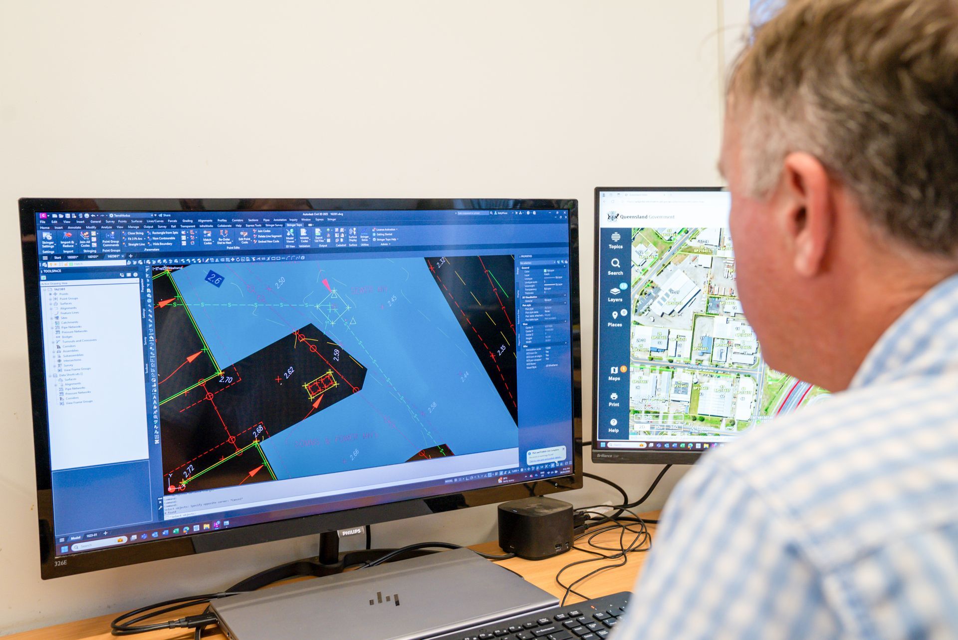
An as-constructed survey verifies that a completed structure matches the approved design specifications. Often performed at the end of construction, it records the exact location of built features, like roads, drainage systems, or buildings. This survey is essential for quality control, providing documentation that all components align with initial plans and regulatory standards. Councils may require as-constructed surveys for infrastructure projects to confirm compliance. By ensuring construction accuracy, these surveys help detect any deviations, which can then be corrected before final project approval, promoting the integrity of completed projects.
How does an engineering survey assist in construction projects?
Engineering surveys provide precise data that is critical in the planning and construction stages of a project. They identify the land’s topography, slope, elevation, and existing features, which helps architects and engineers design structures suited to the site. For example, contour and detail surveys ensure that the land is appropriately prepared for foundations and drainage, reducing the risk of structural issues. During construction, engineers rely on control surveys to maintain accurate positioning of structures. After completion, as-constructed surveys confirm that everything aligns with the design plans, ensuring project integrity.
What is a monitoring survey?
A monitoring survey tracks changes in land or structural movement over time. Used for sensitive or large-scale projects, these surveys detect shifts, ensuring stability and safety. Monitoring surveys are commonly conducted on structures like bridges, dams, or buildings, particularly in areas with potential for ground movement. By measuring horizontal and vertical movements at intervals, surveyors can identify any gradual shifts or damage. Regular monitoring helps engineers plan for maintenance or modifications, reducing risks associated with structural instability. This type of survey provides valuable data for assessing long-term safety and performance, while as-constructed surveys confirm that completed projects match approved plans. Monitoring surveys detect land or structure movement, ensuring stability over time. Control surveys establish reference points for accurate positioning on large projects.