Our Locations
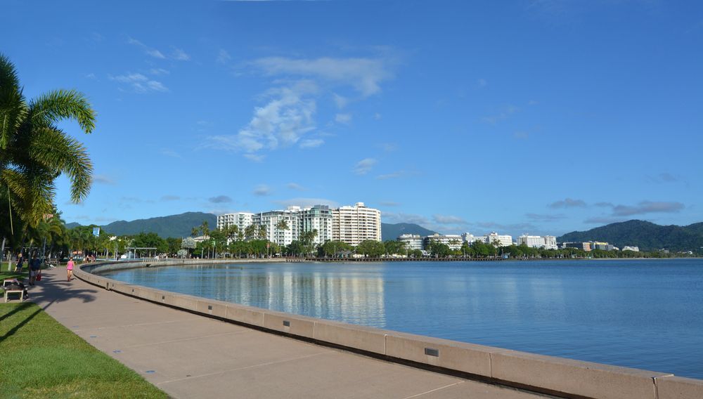
We offer professional surveying services throughout the Cairns region. We service the entire Cairns region from Palm Cove to Babinda, Smithfield to Edmonton, Trinity Beach to Gordonvale and everywhere in between. Specialising in cadastral and engineering surveys, our team provides precise boundary identification, lot reconfigurations and contour mapping, ensuring accuracy and compliance for residential, commercial, and development projects across urban and rural areas.
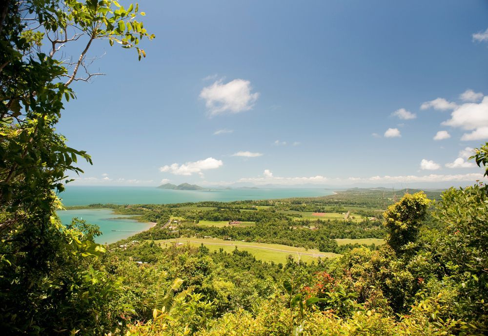
In the Atherton Tablelands, we provide reliable cadastral and engineering surveys for property development, construction and agricultural set-out. We service the entire Tablelands including Kuranda, Mareeba, Atherton, Malanda, Dimbulah, Ravenshoe and all surrounding areas. From boundary identification to detailed site mapping, our surveying services support accurate planning, compliance, and smooth project execution across this diverse and scenic landscape.
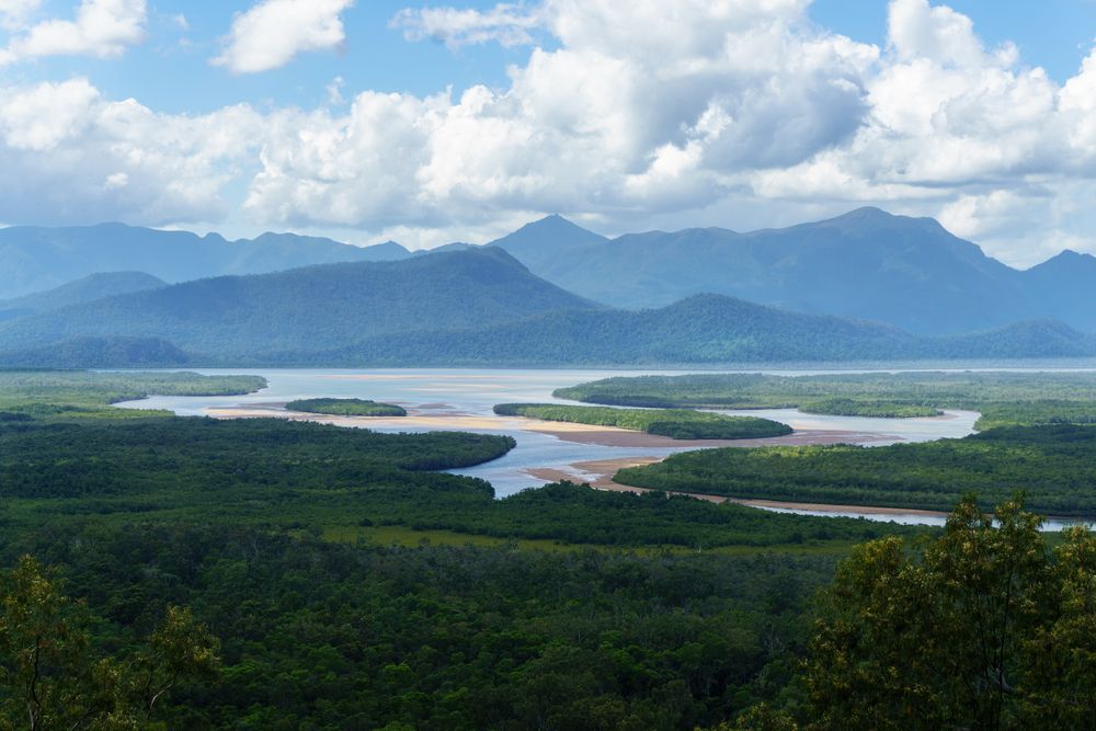
Our surveying services extend throughout the Cassowary Coast, offering boundary surveys, detail surveys, flood levels and construction surveys. We regularly perform surveys in Innisfail, Tully, Mission Beach and Cardwell. We deliver high-quality data for landowners, developers, and councils, ensuring accurate property boundaries and compliance for projects in residential, commercial, and rural environments.

Across the Douglas Shire, we conduct detailed cadastral and engineering surveys to support property management and land development. Our services include boundary marking, contour mapping, and as-constructed surveys, providing critical insights for planning and development while ensuring regulatory compliance for diverse project needs.
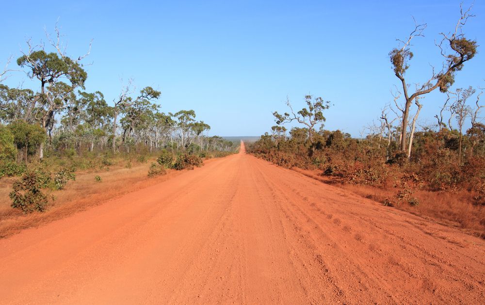
In Cape York, we offer comprehensive surveying services tailored for remote and rural areas. We cover the entire Cook Shire area including Cooktown and Coen as well as the Weipa, Bamaga, the Torres Strait and the Gulf country (Normanton, Karumba, Kowanyama etc). From cadastral boundary identification to engineering site assessments, our team ensures accurate data collection, supporting development projects, property management, and compliance across these remote areas.
Precision in Every Project
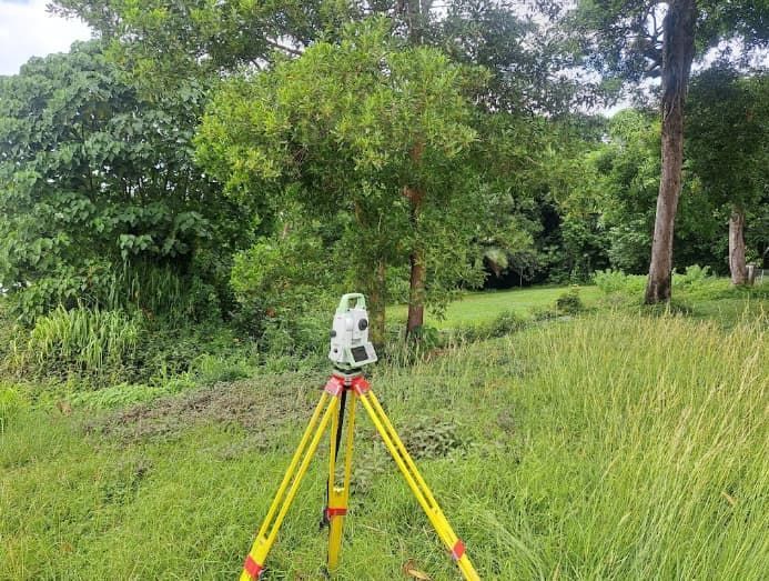
TerraModus Surveying offers trusted land surveying services throughout Far North Queensland, including the Cairns Region, the Atherton Tablelands, the Cassowary Coast, the Douglas Shire, Cape York, and beyond. Our experienced team provides comprehensive cadastral and engineering surveys, specialising in boundary identification, subdivisions, and detailed site mapping. Each service is conducted with the highest standards, using advanced technology to ensure accuracy for every project—whether residential, commercial, or large-scale development. We are dedicated surveying experts who perform surveys in urban, rural and remote areas throughout FNQ.
As a registered consultancy with the Surveyors Board of Queensland, TerraModus Surveying is dedicated to delivering reliable, quality data for all your surveying needs across these regions. For a dependable surveyor, call us on (07) 4054 4072 or get in touch via our enquiry form to discuss how we can support your next project with precision.


